Land and Wayleaves
The Interior Department of the Velocity Interoperability Network manages the land on which the shared infrastructure of the Velocity Interoperability Network stands. When members transferred the first sites and routes into common holding in August 2026 they transferred with them the ground beneath each site, the tracks by which each is reached and the corridors along which cabling runs between them. The Department holds this land for all members and keeps it in a condition fit for the infrastructure it carries.
Land is held in four ways, described below. Each holding is recorded in a schedule against the site or route it serves, so that an entry in the Register of Sites can be traced to the land on which it stands. The schedule follows the register: where a site is under transfer or planned, so is the land that serves it.
A member that needs to cross departmental land to reach its own plant, or to lay its own cabling alongside a shared route, may apply for a wayleave. Wayleaves are granted on the same terms to every member, for a fixed term, and are recorded in a schedule published with the land holdings.
- Freehold parcels
- Land held outright by the Department. Most relay sites and the departmental premises stand on freehold parcels transferred by members in August 2026 together with the plant upon them.
- Leased ground
- Land held by the Department under a lease from a member or from a third party. The Department is responsible for the terms of the lease and for any renewal; the member that used the site before transfer is released from them.
- Access routes
- Tracks and rights of way by which staff and vehicles reach a site. The Department keeps access routes passable in all seasons and clears them before scheduled inspections.
- Cabling corridors
- Strips of land, usually held as a right rather than as a parcel, along which ducts, fibre and copper routes run between sites. A corridor is recorded against the cabling route it carries.
Land in figures
- 7
- Parcels of land in the schedule
- 3
- Access routes maintained
- 5
- Cabling corridors
- 4
- Wayleaves granted to members
Ground beneath the Network
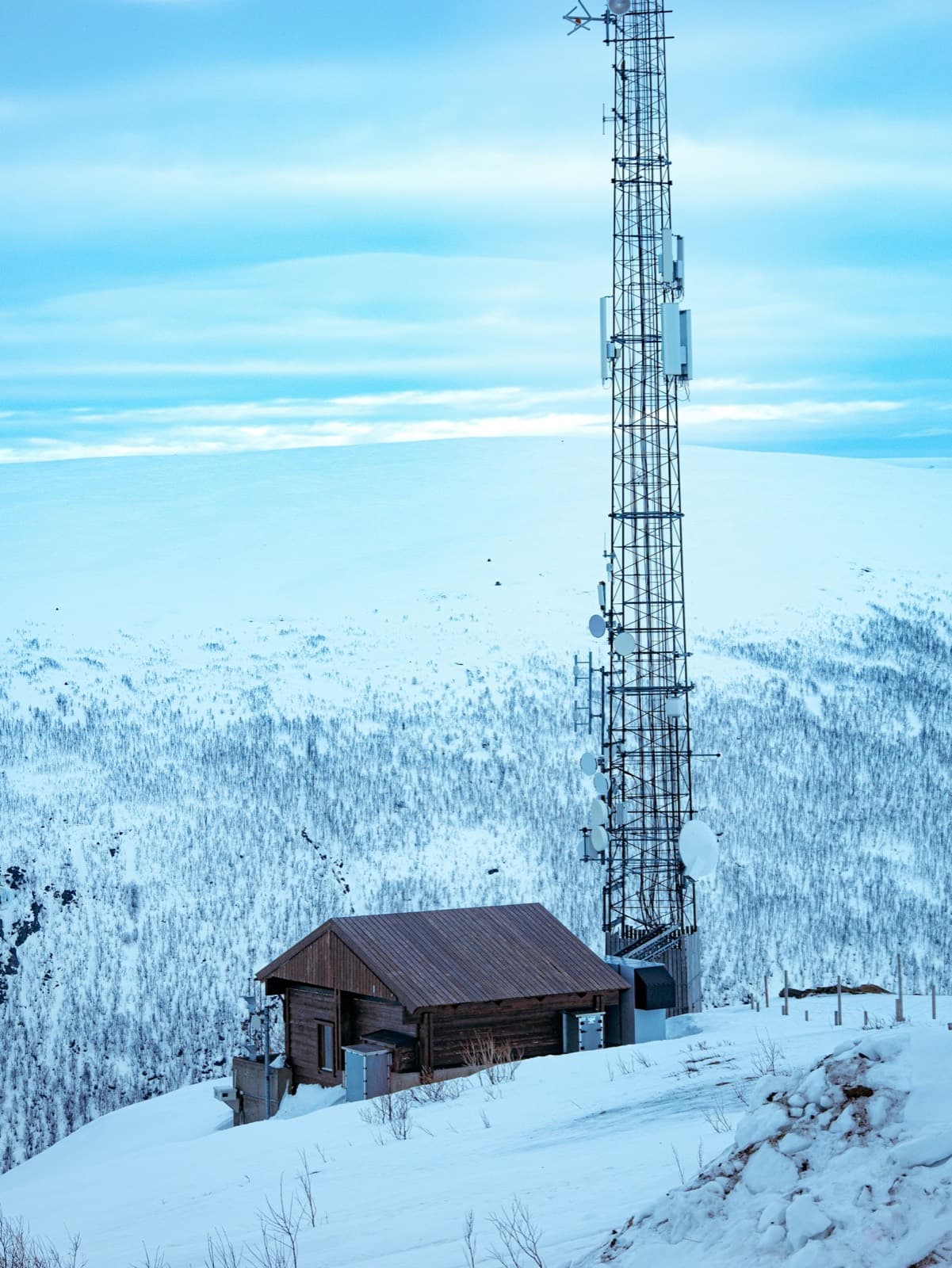
Relay sites stand on high ground, often far from the nearest settlement and reached only by track. The Department keeps each access route open through the winter so that staffed sites can be relieved and unstaffed sites reached within the response times of the service standard.
Boundaries of every parcel were walked and recorded during the surveys that preceded transfer. Where a boundary is disputed, the Department's record prevails between members until the dispute is resolved.
Schedule of land holdings
| Reference | Holding | Kind | Serves | Status |
|---|---|---|---|---|
| LP-01 | Ground at the northern relay site | Freehold | RS-01 | Held |
| LP-02 | Ground at the eastern relay site | Leased | RS-02 | Held |
| LP-03 | Ground at the southern relay site | Freehold | RS-03 | Held |
| LP-04 | Ground at the western relay site | Freehold | RS-04 | Under transfer |
| LP-05 | Ground at the central exchange point | Leased | XP-01 | Held |
| LP-06 | Departmental premises and shared data hall | Freehold | DH-01 | Held |
| LP-07 | Ground at the eastern exchange point | Freehold | XP-02 | Planned |
| AR-01 | Track to the northern relay site | Access route | RS-01 | Held |
| AR-02 | Track to the eastern relay site | Access route | RS-02 | Held |
| AR-03 | Track to the southern relay site | Access route | RS-03 | Held |
| CC-01 | Corridor, northern relay site to central exchange | Corridor | CR-01 | Held |
| CC-02 | Corridor, eastern relay site to central exchange | Corridor | CR-02 | Held |
| CC-03 | Corridor, southern relay site to central exchange | Corridor | CR-03 | Held |
| CC-04 | Corridor, central exchange to departmental premises | Corridor | CR-04 | Held |
| CC-05 | Corridor, western relay site to eastern exchange | Corridor | CR-05 | Planned |
Schedule of wayleaves
The wayleaves below were carried over from the arrangements of the transferring members and re-granted by the Department on its standard terms on the day of its establishment. Each runs for a fixed term from 6 September 2026 and may be renewed on application.
| Reference | Over | Purpose | Term |
|---|---|---|---|
| WL-01 | AR-01 | Member duct alongside the access track to the northern relay site | Ten years from 6 September 2026 |
| WL-02 | LP-05 | Member equipment cabin within the grounds of the central exchange point | Five years from 6 September 2026 |
| WL-03 | CC-02 | Member fibre laid in the shared duct, eastern relay site to central exchange | Ten years from 6 September 2026 |
| WL-04 | LP-06 | Member power feed across departmental premises to adjoining premises | Five years from 6 September 2026 |
Applying for a wayleave
Step 1: Identify the land
State the parcel, access route or corridor to be crossed by its reference in the schedule above, and the site or route of the Department that it serves.
Step 2: Describe the purpose
Set out what is to be laid, built or carried across the land, its dimensions and depth, and the works needed to install and later remove it.
Step 3: Submit the application
Applications are made by email on behalf of a member organisation. The Department acknowledges receipt within five working days.
Step 4: Survey and consultation
The Department surveys the land and consults any other member whose plant or wayleave would be affected. Where a lease applies, the consent of the lessor is obtained by the Department.
Step 5: Grant
A wayleave is granted in writing on the Department's standard terms for a fixed term of five or ten years. The member may not begin works until the grant is issued.
Step 6: Entry in the schedule
The wayleave is entered in the schedule of wayleaves with its reference and term, and the members concerned are notified.
Enquiries
Applications for a wayleave, and questions about any holding in the schedule, may be sent to contact@interior.gov.vin. The procedure by which land is transferred to the Department with a site or route is described under How We Work.